Finally I’ve gotten around to making some maps of Philadelphia. I had tried in the past, but when I downloaded the imagery I could never get the mosaic setup right. I wanted to make a large square of all of Philly to show both the Schuylkill and Delaware rivers, but I’d either not have enough imagery, or I’d screw up the download, or in the end, it just ended up being too large of a mosaic to incorporate into a tessellation.
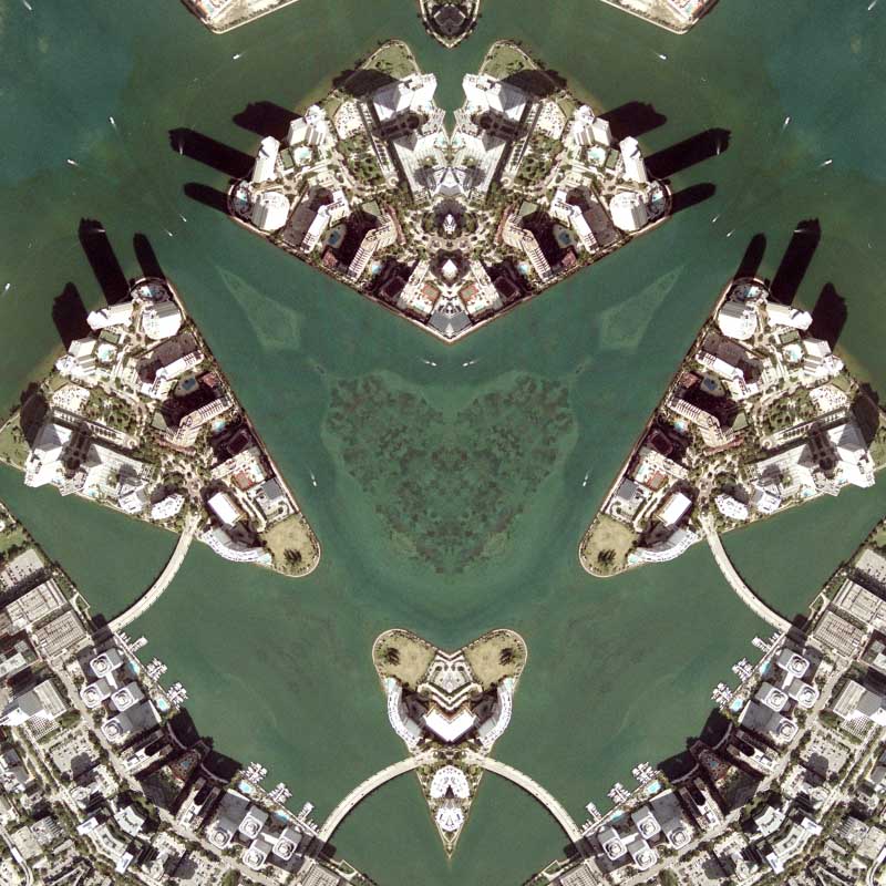
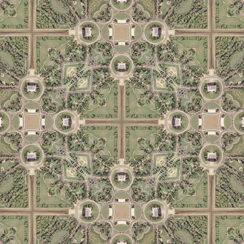
Essentially, if my desired output size is 18,000 and my tessellated source imagery ends up being 9,000 X 9,000, then I am not going to be able to show all of the city because the seams cut out some parts at the center. Also, large tessellations take a long time to import and take longer to parse through when rendering. That is why I made 5 renderings for Philly! This is the first time I’ve made so many. One of them is also a nondescript highway intersection of 95 & 676, which I might use next (not sure!). As for this map, it’s the standard hexagon quilt projection with the western side of Philly showing. I chose to set up the tessellation so that the Schuylkill river was the geographic identifier and rotated the imagery around it. The result is nice and the river makes it easy to find the seams of the tessellation. Up next is a diamond quilt projection map rotated 45 degrees and it should look nice :-) This year I am going to continue making more diamond quilt projection maps!!

+ MORE