
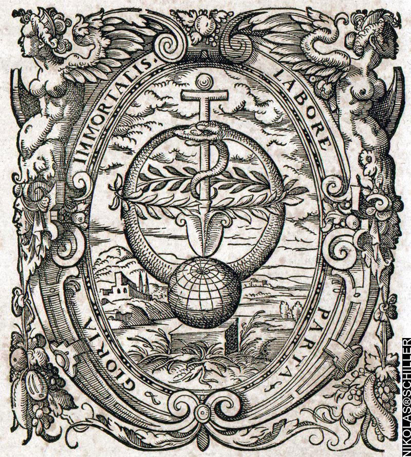
“Pope Gregory XIII / Year of Restitution 1582”
Minted in 1582 to celebrate the creation of the new Roman calendar,
which later became known as the Gregorian Calendar
The other day I was reading about the Gregorian Calendar and stumbled across this coin that was created the year of the calendar reform. It features a portrait of Pope Gregory XIII on the front, and on the back this is dragon eating it’s tail surrounding a ram’s head. The dragon is called an Ouroboros, which I named my recent time lapse video, and as I mentioned before, it represents the cyclicality of time surrounded by the Egyptian Sun God Amun, who’s name means “the one who is hidden.” I find this symbology very interesting because what we consider today to be pagan symbols were used to mark the creation of their perfect calendar— the calendar we use today.
In my opinion, the Ouroboros represents the Milky Way and the Ram represents the sun, and by creating a perfect calendar the sun & the cosmos were finally set in perfect harmony. Except one thing, and in my opinion, the most important part of it all, the perfect calendar removes the importance of natural precession. As in, as the dragon devours its tail, it slowly moves in a circle, and that circle represents the earth’s slow precession backwards through the zodiac. By keeping the months standardized, the natural movement of the Earth is not accounted for in our modern calendar because the Gregorian Calendar standardized the timing of the Paschal Full Moon so all Christians could celebrate Easter on the same day. With that sense of natural drift removed, the understanding behind the Earth’s natural movement around the sun and the origins of why ancients used the Zodiac was diminished.
A good example of this natural drift is the removal of 10 days from October in 1582. Part of this was due to the Julian calendar‘s natural error, but in my opinion, a partial correction in regards to natural drift. In the last 426 years at an average drift of 1 degree every 71.6 years, the earth has precessed approximately 6 degrees since the calendar’s creation. If each sign in the Zodiac is 30 Degrees, then the earth has moved 1/5 of its way through the age since the calendar’s creaction. Interesting stuff! What’s really funny is what I posted here exactly one year ago today.
Related Calendar Entries:
+ MORE


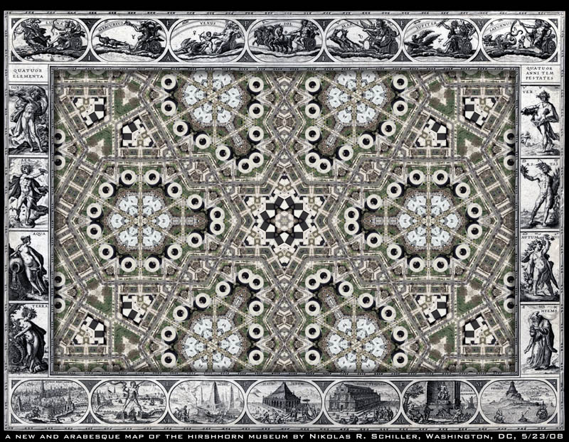
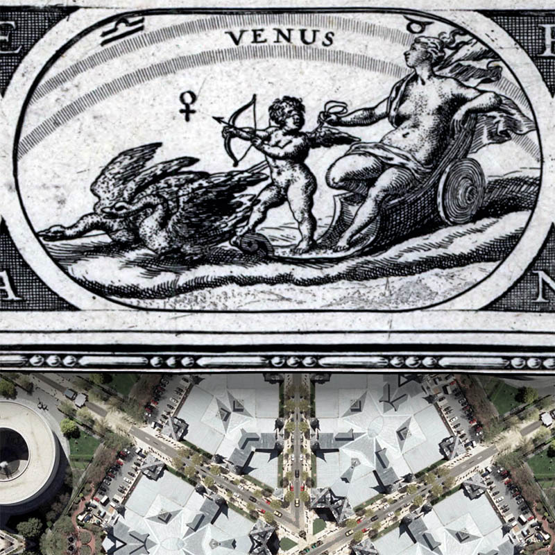
My Artomatic 2008 Opening Night Exhibit Dissected on Flickr
|| 5/27/2008 || 2:50 pm || Comments Off on My Artomatic 2008 Opening Night Exhibit Dissected on Flickr || ||
I’ve never been a fan of Flickr. I dislike how photos are lifted from Flickr all the time without proper citation. One of my biggest annoyances regarding my artwork or other people’s work is when it’s posted on-line with no link back or extra information regarding the artist or the circumstances regarding the image’s origin. Instead you get “neat huh?” “Cool photo!” “Look at this!” etc and while it’s great that more eyes are seeing the image, it undermines the artist’s visibility because the citation is not always accurately presented. A good example of this lack of information can be seen at the social image bookmarking website FFFFOUND!. This lack of citation is not the case 100% of the time, but its the main reason why I don’t upload my artwork to Flickr. Since I have ample server space and nearly unlimited bandwidth I’ve never needed another repository for my images.
I also don’t like the stalker ability that comes with having all of your photographs on-line for strangers to look at and download. I won’t name names, but I’ve looked through some Flickr photostreams of some of my friends and have found that the photos offer far too much information about their lives, activities, and friends. You can look through someone’s photos and see their exes, the interior of their homes, and basically just about anything the person decided to place out there for strangers to view. Worse is that you cannot access the information regarding where your photographs are viewed from. Since I have access to my website’s server logs I can find exactly how many times a photograph has been looked at and by what IP addresses. This information is shielded from the Flickr user and dumbed down to a lowly view counter.
With those reservations aside, I decided to play nice and upload one photograph of my Artomatic 2008 exhibit taken on May 9th. I went through and tagged the photograph twelve times showcasing the content that has been placed on top of the Base Map. Since I embedded quite a few links into the notes, I’ll be able to track exactly who clicks on the image and know with a certain amount of certainty how many times the photograph has been looked at and where the photograph is being looked at from– if they click.
Related Artomatic Entries:
+ MORE