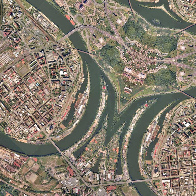
I haven’t made a rendering of Europe like this one before. As of late, I’ve been using most aerial photography from the USGS and satellite imagery from NASA. This imagery I found by scouring someone’s extensive digital map collection and randomly discovered some high-resolution imagery of Prague, Czech Republic.
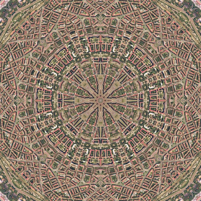
The most striking feature of this map is the way the Danube bends and reflects. It really gives more definition to the lines of symmetry. Generally, when there is some of specific geographic identifier within the prepared imagery, the final product tends to be slightly more intricate. This is definitely the case with Prague. Up next, the letter N or the letter Z, it all depends on your perspective.
view rendering details:
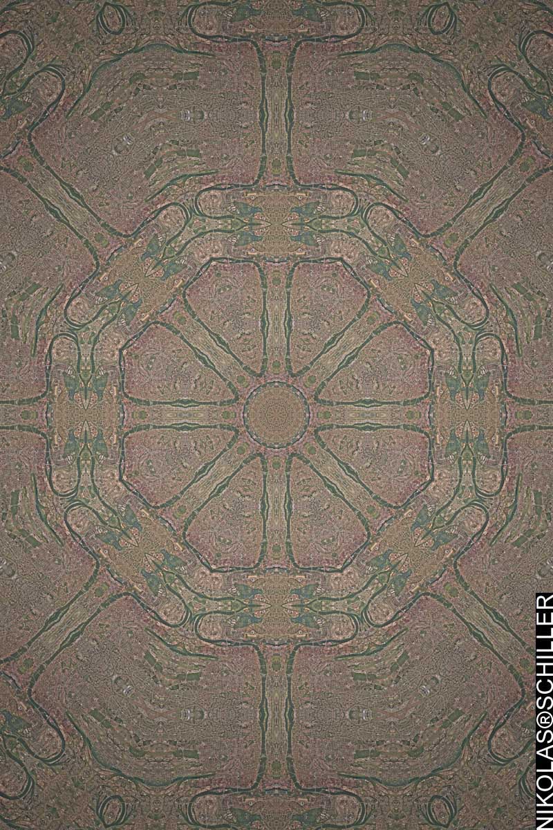
: zoom to the Danube :