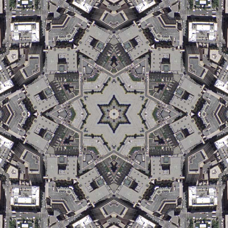
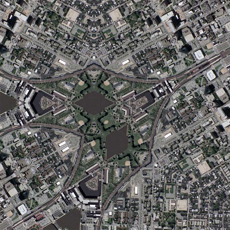
: rendered at 18,000 X 12,000 :

The spatial resolution of the source aerial photography is about two times less than I normally use. At .65 meter per pixel (about two feet per pixel) it deviates from the usual .3 meter most of my other maps use and the result is that I made a tessellation that contains a total of 8 tiles instead of the usual 4. Basically, when looking at the web ready version (which is roughly a 7.5 to 1 scale) you can see less of the on-the-ground imagery and more abstraction. Quite similar to the “Salt Lake City – Scale” map… Regardless, I am pleased, and quite happy to get another state out of the way. Only a few more left….
View the Google Map of Wilmington, Delaware.

View Rendering Details:
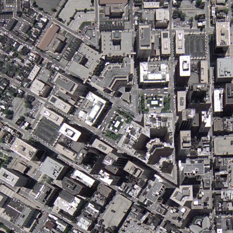
: detail :
: detail :
: zoom out from center :

: zoom to center :