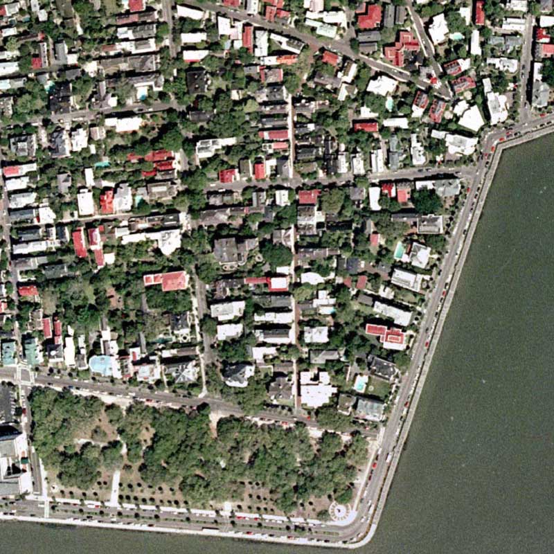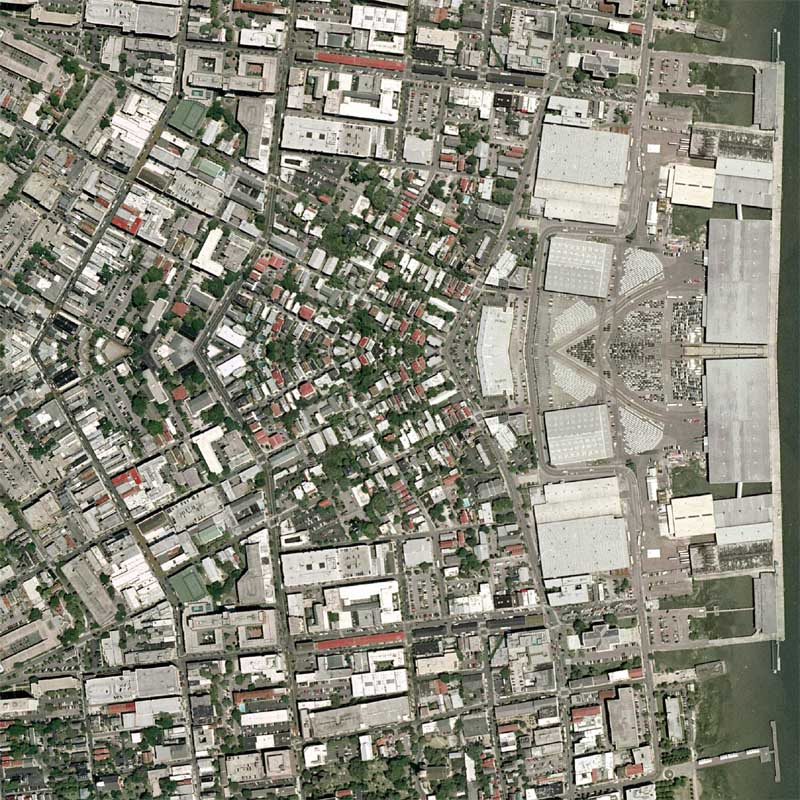
I’ve waited for some time for this imagery to be released and I am somewhat disappointed that it was released at .6 meters per pixel (roughly 2 feet per pixel). This spatial resolution allows for more area to be covered, so the benefit was that I able to get most of the southern portion of the city covered.
On a different note, I’ve found a slight limitation with WordPress’ category naming system. For each map I’ve made a category for both the city and state, with the state being the parent category. Months ago I made a couple quilts of Charleston, West Virginia and I found that I could not add another category named Charleston because it technically already existed even though it was nested with West Virginia. I was thinking of naming the category “Charleston2” or “CharlestonSC,” but I haven’t yet. I will figure something out….
View the Google Map of Charleston, South Carolina.
View Details: