“Antique Home”
Today I finally got around to looking through the David Ramsey Historical Map Collection. Like Archive.org, there was a lot to discover…
The above image is an assembled detail of a beautiful engraving on the title page of Atlas Nouveau, which was published in 1742 in Amsterdam (original cover after the flap). The detail contains the Latin phrase, “Socio ditata labore” and shows a scene of exploration. There is a slain dragon on the right side and on the left are soldiers bringing a woman to the new land. I couldn’t pass up this engraving! I do need a Latin translation, anyone know it? (A friend of mine was able to get a translation for me – below)
Behind the engraving is a tessellated detail from Home Quilt #5, which features the row house I’ve been living in for the last 3 years. The house was built around 1889, a 147 years after the Atlas was published. The source aerial photograph was taken in March of 2005, published in February of 2007, and revisted on March 29th, 2007, and finally today, a 265 year enrichment.
I also made a pop-art style tile that features the engraving in different colors.
From an e-mail:
Here is the report from my classicist friend in LA:
as for the latin, it doesn’t make a whole lot of sense as it stands – ‘socius’ is a friend, companion, (father in law in some contexts) – so it could be some sort of dedication, as in: ‘for my father in law, with enriched labor” – which, as I say, makes no sense. if, however, ‘societas’ has been mistaken for ‘socio,’ then it can read, as you say, ‘society is enriched by labor.’
Title Page & Notes:

From the David Ramsey Historical Map Collection:
Note: This is a later edition of DeLisle’s maps, including some maps by Sanson, Jaillot and others, first published by Covens and Mortier in 1730. It is bound with a geography text by Sanson. This issue did not included the abbreviated edition of Popple’s map that appears in the P596 copy and the index does not call for it. The maps are beautifully done, following the original DeLisle plates closely. This copy does not have the plan of Carthagene called for in the index, and it does not appear to have been bound in originally (there is a ms line drawn through the index line referring to this map that may have been done at the time of issue). Koeman’s C&M 6 is slightly different from our copy: it has 1733 on the title page and 1741 on the index (our copy has 1742 on the index and no date on the title page; also, C&M 6 lists 107 maps on the index – this one lists 108 maps with one crossed out (see above) – that map crossed out was published in 1741 or 42 and probably was not yet ready for inclusion. So our copy was unknown to Koeman or Phillips. Atlas is bound in half leather marbled paper covered boards with “DeLisle Atlas” stamped in gilt on the new spine. Maps are hand painted with outline color.
Full Title: (Covers to) Atlas nouveau, contenant toutes les parties su Monde, ou sont exactement remarquees les empires, monarchies, royaumes, etats, republiques, &c. Par Guillaume de l’Isle. Premier Geographe de sa Majeste. A Amsterdam, Chez Jean Covens & Corneille Mortier, sur le Vygendam. (illus. on title page) Socio ditata labore … J. Wandelaar del. et fecit. (bound with) Inleidinge tot de Geographie … Door den Heer Sanson d’Abbeville, Ordinaris Geographist des Konings. Te Amsterdam, By Johannes Covens en Cornelis Mortier, Boekverkopers op den Vygendam. Met Privilelgie der Heeren Staaten van Holland en West-Vriesland.
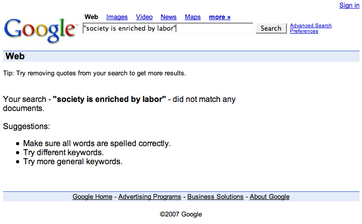
My Google search results indicate that the translated phrase has never been uttered on the internet, yet.