: rendered at 18,000 X 12,000 :

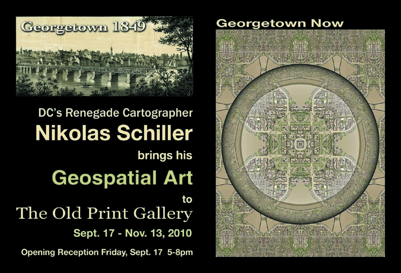
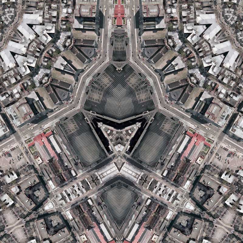
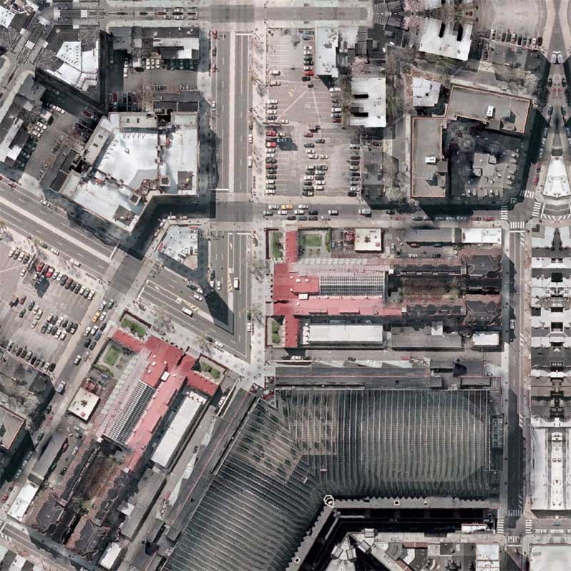
Georgetown Quilt – East / Center / West are 3 new limited edition maps that are being created for the upcoming exhibition at The Old Print Gallery. Each individual map is composed of a section of Georgetown stretching between Rock Creek Park (East) to the area around The Old Print Gallery (Center) to the Key Bridge (West). Georgetown Quilt – Center is composed of what I call an Octagon Quilt Projection map because there are 8 lines of symmetry that radiate from the center of the map. The East & West maps, which will flank the Center, were created using the Hexagon Quilt Projection, which creates 6 lines of symmetry radiating from the center.
View the Google Map of the Georgetown neighborhood in the District of Columbia.
: detail :

+ MORE


Don’t buy these books…
|| 8/16/2010 || 10:57 am || 1 Comment Rendered || ||
I came across these books on Amazon the other day and thought it was odd that Amazon would even list these books for sale. I believe that someone probably wrote a simple computer program that goes through Wikipedia and slurps categorical Wikipedia entries, like aerial photographers or American cartographers, formats the text, and then uploads the content as a book. Nonetheless, I don’t recommend spending $19.99 for either of these books!