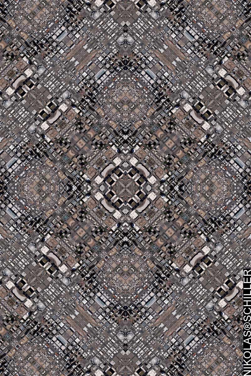
: rendered at 18,000 X 12,000 :
Over the years I’ve done my best to map every major city throughout the United States. Some cities & states withhold their imagery from the public domain and I’ve been unable to map those geographies (I’m looking you at Vermont!). While Tuscon, Arizona was released to the public a few years back, Phoenix, the primary city of Arizona, was not released until sometime last year. I don’t get updates of when new imagery is released in the public domain, which has kept me in the dark about when other cities are releasing new imagery, otherwise I would have mapped Phoenix sooner.
For this map I decided to employ the Diamond Quilt Projection on the area around downtown Phoenix. The source aerial photography was originally .8 feet per pixel, but in order to capture more of the downtown area I reduced the spatial resolution of the source imagery to cover more area. In doing so, I have most of the important buildings in downtown Phoenix. Known as Cooper Square, the buildings in this map include Chase Field, U.S. Airways Center, Sandra Day O’Connor US District Court, Bank of America Tower, City Hall, Maricopa County government buildings, Phoenix Civic Center, and Patriot Square Park. Unlike most of my state capital maps, the Phoenix state capitol is located to the west and I will probably have to go back and make a subsequent map so I can include it in my ongoing series of state capitol buildings.
Anyways, I resampled a portion of this map and will post it tomorrow.
View the Google Map of downtown Phoenix, Arizona
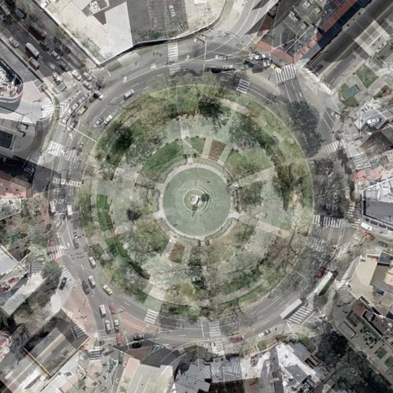
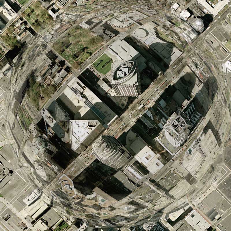
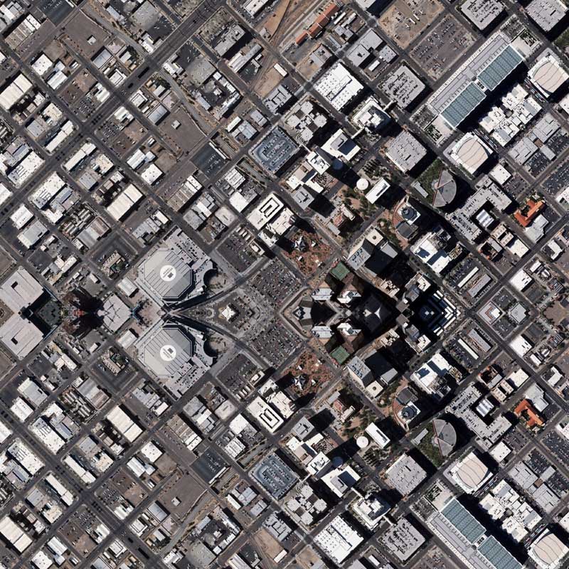
: detail :

View the rest of the map details:
+ MORE


