: rendered at 18,000 X 12,000 :

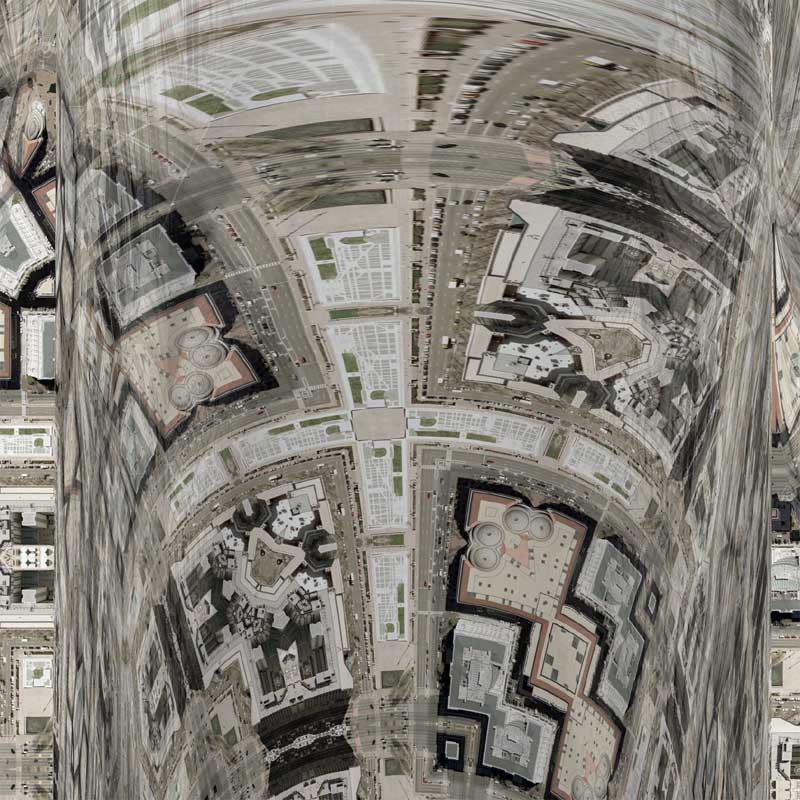
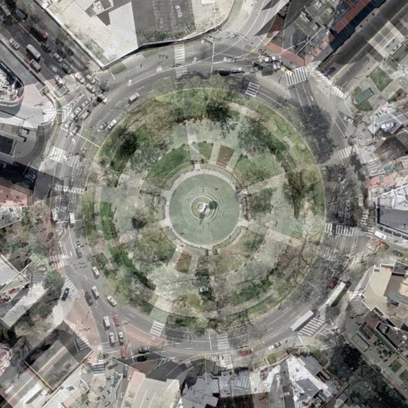
I decided to switch things up a bit with today’s rendering. I have become very efficient with most of the processes used to create my maps, which both makes them standardized and sometimes a bit too similar to each other (while paradoxically being different geographies). This map and probably the next few maps are going to be slightly different.
In order to have the most recent maps of Logan Circle, Dupont Circle, and Washington Circle look similar to each other, I would take the first derivative tessellation and overlay it on top of the tessellation that I was constructing. By adjusting the transparency, I can overlay the circles directly on top of each other which makes the subsequent map look nearly identical.
Normally, I simply delete the original tessellation when I have the two lined up perfectly, however in today’s map I chose to not delete the other map. Instead, I adjusted the transparency of Dupont Circle to 51% to show both geographies at once. The result is something that I wasn’t expecting, but am quite pleased with the results. I can see myself using this process again. It’s like a double exposure…
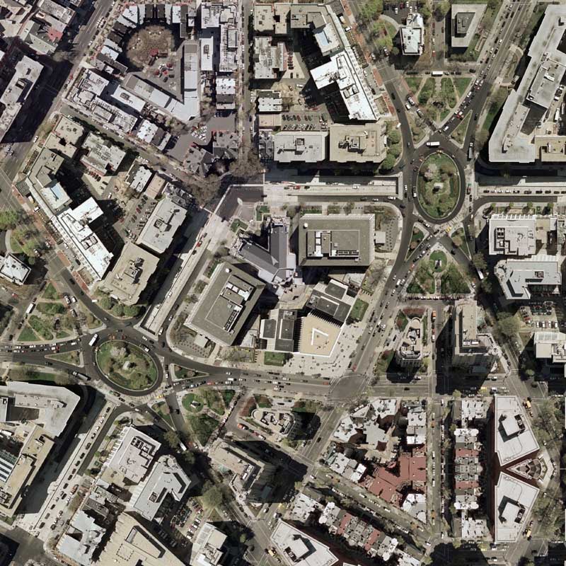
View the Google Map of Washington Circle in the Foggy Bottom neighborhood of Washington, DC.
View the Google Map of Dupont Circle in Washington, DC.
View the rest of the details:
+ MORE
 .
.


Digital Globe: Where did DC’s roads go?
|| 3/5/2008 || 12:27 pm || Comments Off on Digital Globe: Where did DC’s roads go? || ||
Screen grab featuring DC with very few roads
I was looking at Digital Globe’s website the other day and I decided to zoom into Washington, DC. The result was a map that only shows the major highways around the area. What is missing, however, are all the roads in DC, even the ones that connect to the “major highways” outside of the District. While the roads are not really needed to find locations of imagery, I’ve come to the conclusion that this is a good example of how an on-line mapping environments can leave out a lot more content than what should be included. Since this map environment was designed to seek Digital Globe’s imagery, not highways, it would make more sense that the base layer shows archive satellite imagery and not ugly vector graphics that incompletely show the major transportation routes in DC.
Notice:
– Two different city centers: Washington + Washington, DC
– In the margin map, the star next to Columbia is not District of Columbia, but South Carolina
– In the margin map, all cities are capitals as well
– Gallaudet University is the only university shown