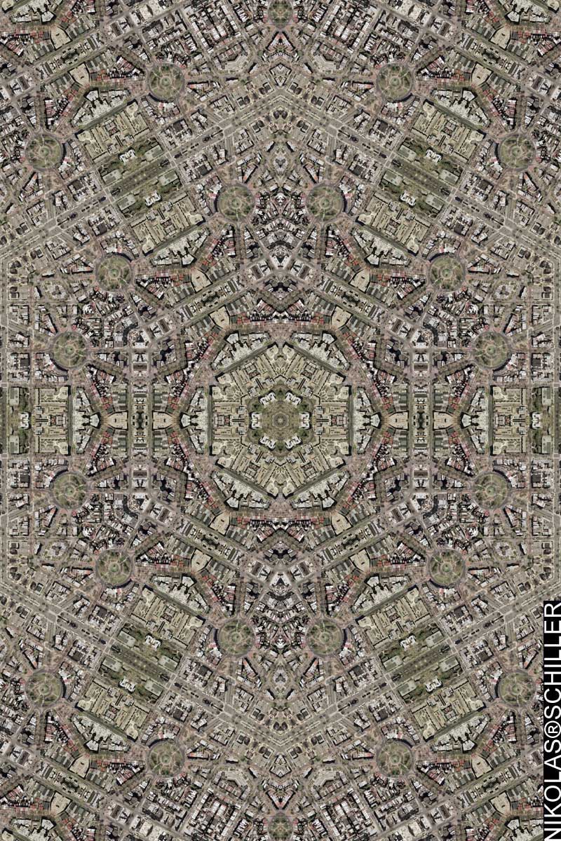
: rendered at 18,000 X 12,000 :

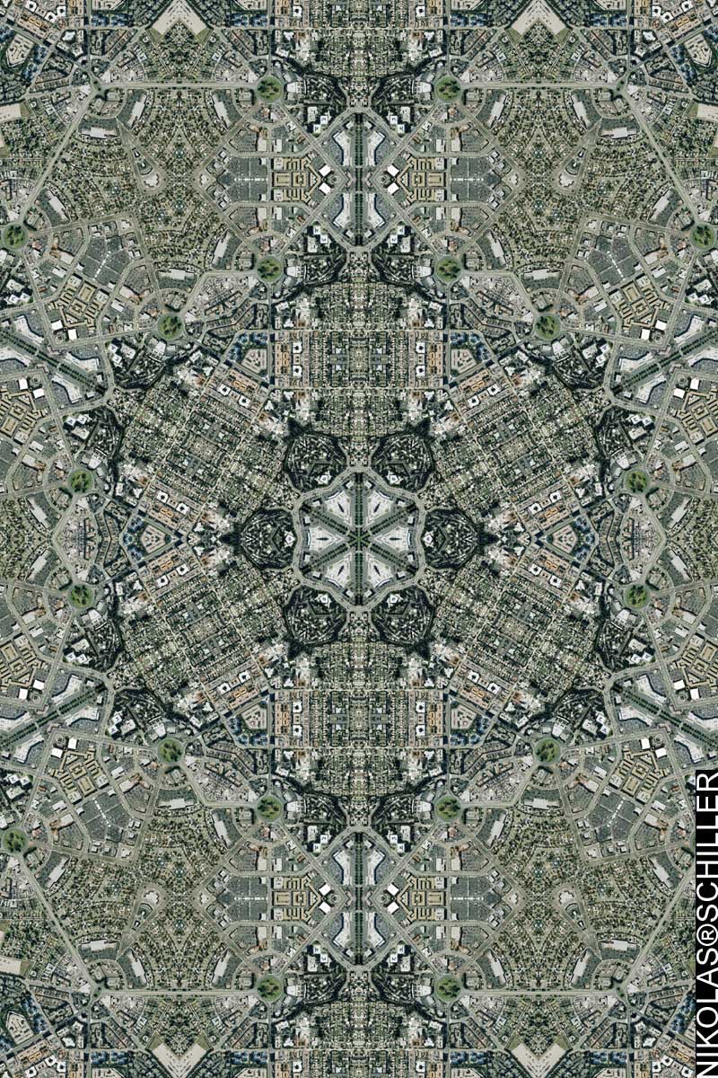
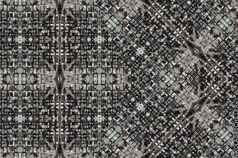
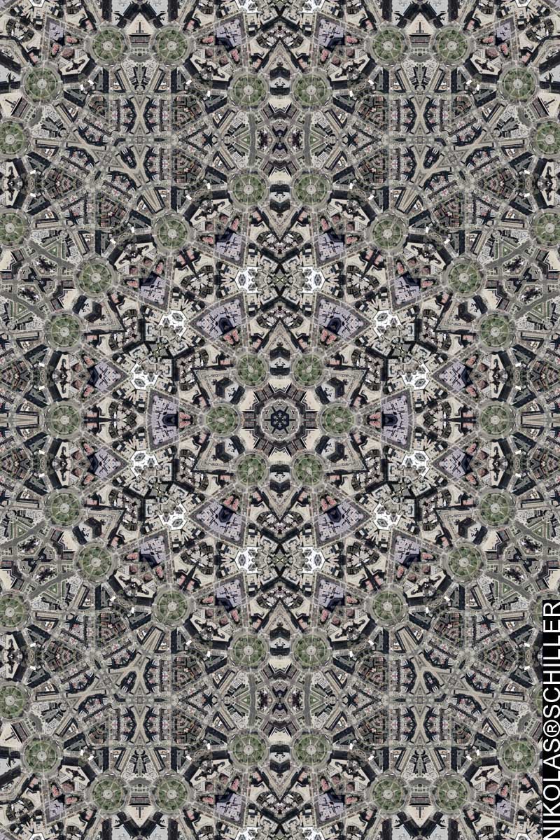
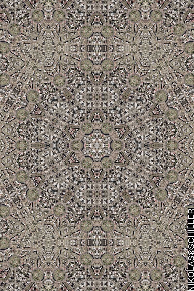
In light of the album cover, I decided to make a few more maps of the Pentagon. Using new imagery taken in September of 2005 by Aerial Express and released by the USGS at 0.5 meters (approximately 1.6-foot). The first rendered was a botch. Somehow when I was changing the design around I messed up and created an imperfect map, which I prefer not to publish. Howerver, I was able to sample it to make a derivative tessellation that I used for this map.
View the Google Map of the Pentagon
: zoom out from center :

+ MORE


