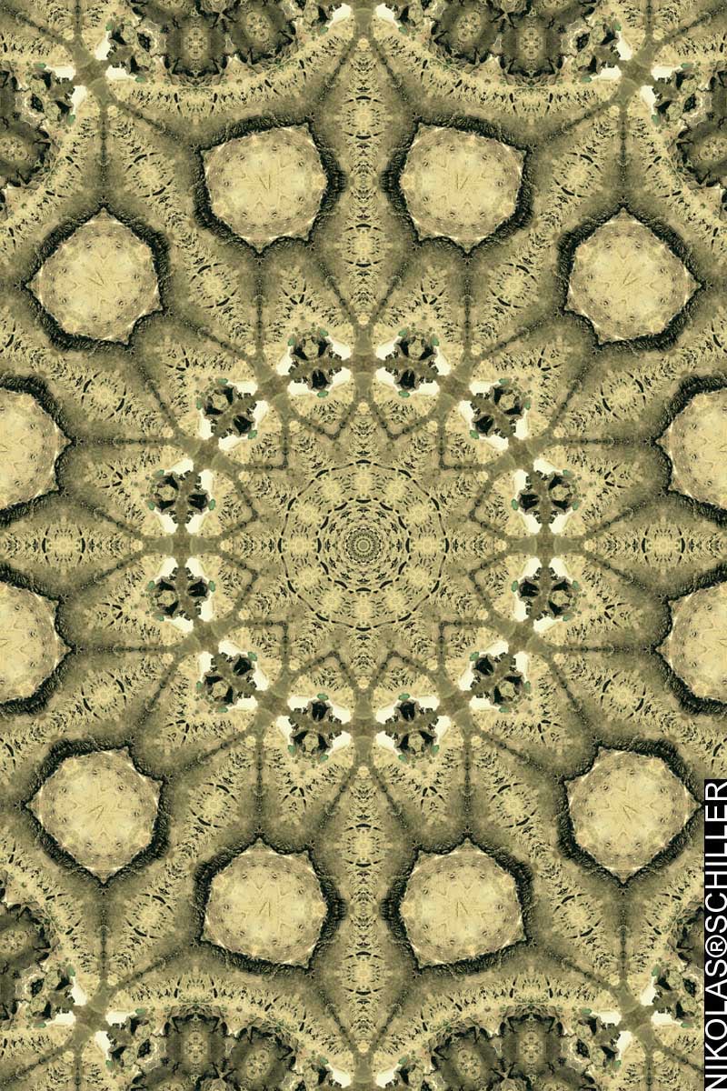
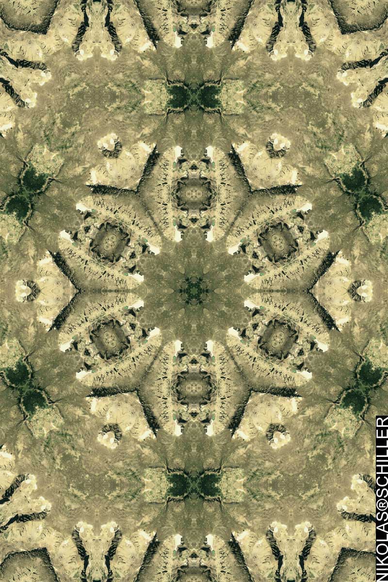
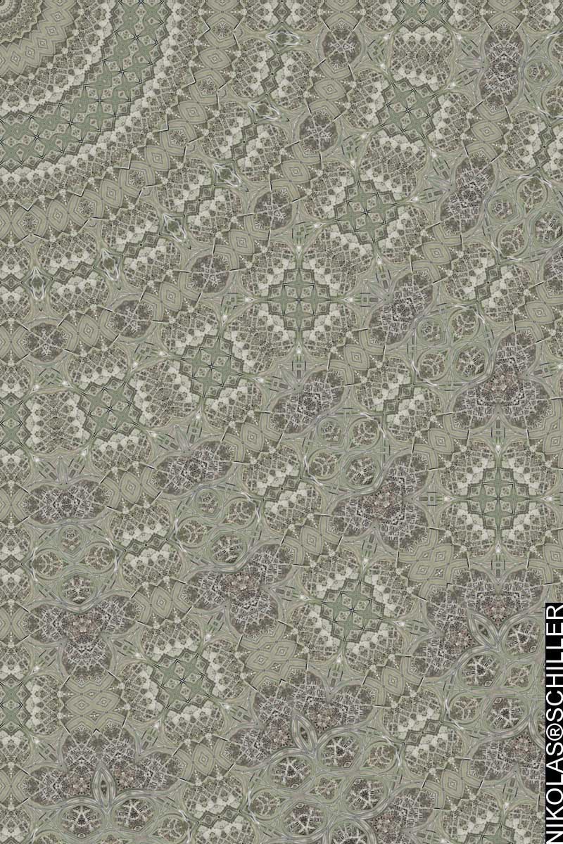
Photocartographies: Tattered Fragments of the Map is a curatorial project materializing in multiple forms: an exhibition, a publication and a series of public programs.
Photography and cartography are entwined in similar processes of subject orientation that structure our experience of social, environmental and virtual landscapes. A map is not a representation so much as a system of propositions. This project reveals mapping itself as a generative process of knowledge creation, a liberatory method for re-imagining and re-imaging our world, its built and natural environments, and the relationship between space and place.
Maps are tied to a history of authority, scientific rationality and practical application, masking the underlying subjectivity and biases of their creation. Satellite-based navigation, the disciplines of geography and, more recently, urban planning, have popularized and proliferated map imagery while helping to cement an aura of unassailable cartographic objectivity. Maps have become ubiquitous tools in our daily lives, and are understandably identified in accordance with a few simple assumptions: they are graphic representations of spatial relations and their creators are technicians bound to graphic systems that reflect a physical reality. However, the true nature of maps is one of distortion, beginning with their projections of three-dimensional surfaces onto two-dimensional frames, and compounded by territorialization, a habit of identifying, naming and claiming. Maps are image-objects in which different conceptions and configurations of time and space are created, not just charted.
In 1858 Gaspard Felix Tournachon executed the first aerial photographs from a hot air balloon tethered above the Paris skyline. In turn, Baron Haussmann employed this omniscient view to redesign the city, combating its perceived disorder. Over the last 150 years, people have used zeppelins, airplanes, and satellites to photographically capture and archive every piece of our globe with increasing accuracy and frequency.
More recently, public access to maps, as well as the access to their means of production, have been greatly enabled by digital technologies—most notably tools such as Google Earth and freely accessible archives like those offered by the USGS. Borges’ story of mapping the entire Kingdom with exactitude may seem improbably complete. And yet, maps can never escape being part of the world their creators try to represent. Like the photographic image, “The map does not reproduce an unconscious closed in upon itself; it constructs the unconscious” by coding power, politics, and aesthetics. All maps are still projections, and all territories are maps.
Mapping and photography are conceptual frameworks, rather than methods, that inform this project. The exhibition features artwork from Anthony Auerbach, Katherine Bash, Charles Benton, Noah Beil, Mike Hernandez, David Horvitz, David Maisel, Adam Ryder, Oraib Toukan, Angie Waller, and Nikolas Schiller.
If you are in the Los Angeles area please check out the exhibition! It will be up until July 3rd, 2009.


Google Maps: Add the Contour Interval to the Legend of your Terrain maps
|| 8/6/2009 || 3:56 pm || 5 Comments Rendered || ||
Nearly every printed topographic map I’ve ever looked at has the contour interval, otherwise known as the distance between contour lines, listed in the legend. Depending on the scale of the map, the contour interval ranges from 1 foot to hundreds of feet between each successive contour line. The contour interval allows the map reader to instantly know the relative steepness & flatness of the topography in the map at one quick glance. Because of this crucial information, a topographic map is considered incomplete when it does not disclose this information to the reader.
Enter the Terrain feature of Google Maps. Released to the public in November of 2007, the contour lines were subsequently added in April of 2008. I hadn’t really given the feature much use until last week when I was planning my weekend excursion to the Shenandoah mountains. I was trying to figure out the altitude variation on my friends property by finding where their property line started & ended and calculating the elevation change. Since their property lies on the side of a mountain, I wanted to know the altitude at the bottom of the property and the altitude of the highest portion of the property, and subtract the difference to find the total elevation variance.
What I found out instead was that Terrain function of Google Maps was lacking the contour interval declaration in the legend. As with all their maps, the lower left-hand corner showed the units of distance on the map, but was missing the topographical information provided by the contour interval declaration.
In lieu of ever getting a response from Google Maps after previous queries, I decided to send a tweet to Google Maps:
I wasn’t really expecting a response, but a couple hours later I received this response on Twitter:
+ MORE