: rendered at 9,000 X 6,000 :
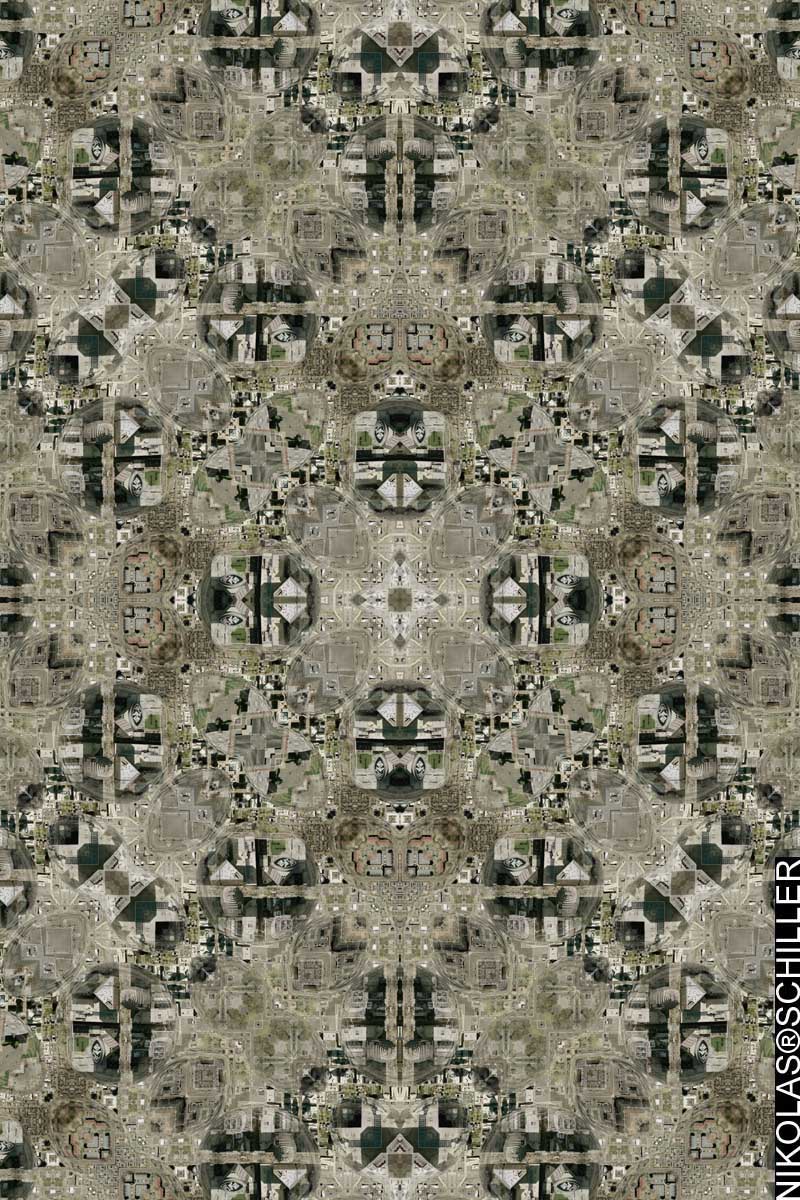
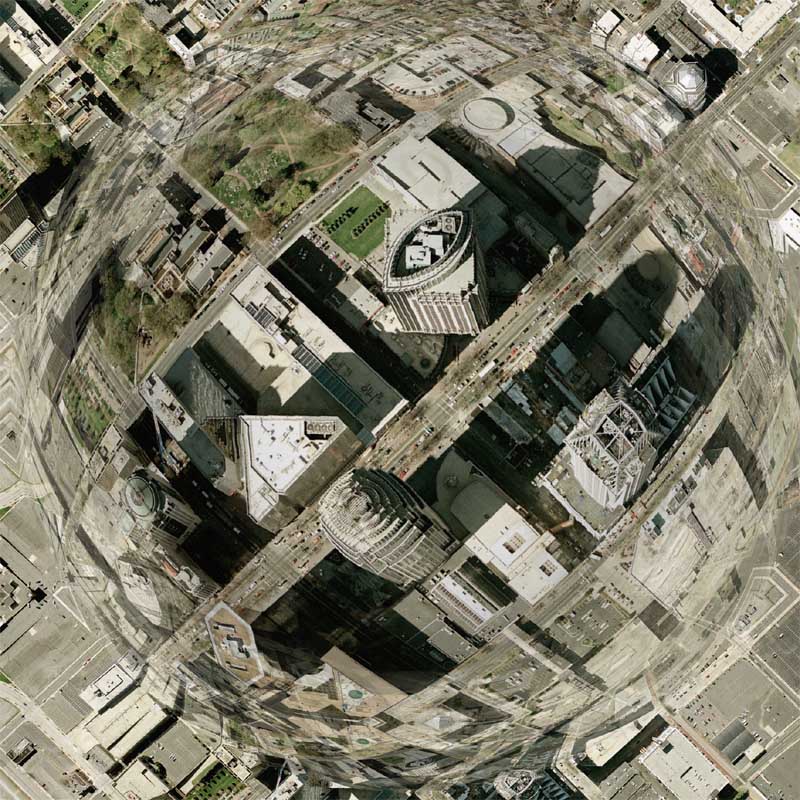
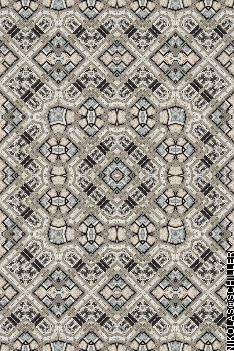
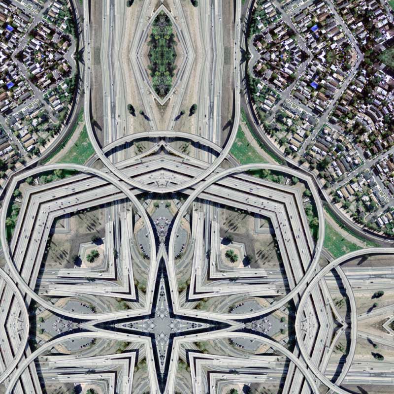
Using a portion of Charlotte Spheres #1, I created this derivative map. I noticed that there was over-projection in some parts of the first map, so I under-projected this map to reduce further pixilation. The result is one of the most exquisite quilt projection maps yet! It has a nice assortment of aerial photography at multiple scales and the geometric designs of the original buildings standout quite nicely. I look forward to getting this printed eventually because it’s quite fun to look at.
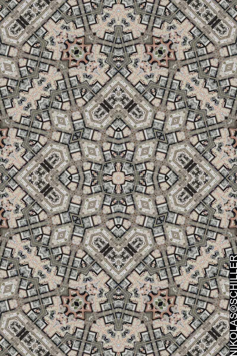
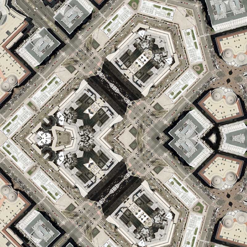
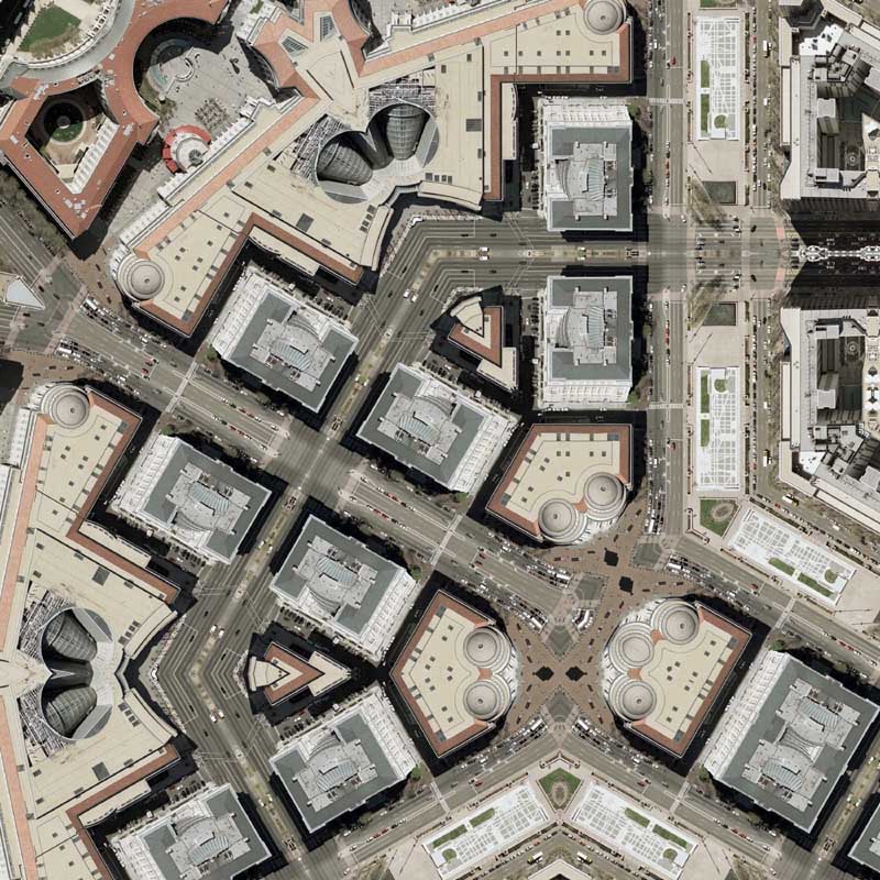
Speaking of printing, I spent some of my hard-earned funds on a 60″ x 40″ canvas print of Federal Triangle Quilt #4. This is the largest printing I’ve ordered for myself. I joined Imagekind exactly one year ago and not once did I ever get around to purchasing one of my maps at it’s largest size and on the most expensive media. It’s not like I didn’t want to, but I just wasn’t sure which one to purchase. I have a $2,500 check arriving shortly from the DC Commission on the Arts & Humanities and I intend on purchasing quite a few more! Very excited.
One disappointment was how the canvas hangs using Poster Hangers. I hung it vertically and the sides of the canvas bend inward. I knew this was going to happen somewhat, but I was expecting so much bend– like a full two inches curving inward. Another interesting observation is how the texture of the canvas adds to the quilted nature of the projection technique. When it comes to quality and longevity of media, I think I’m going to do most of my future printing on canvas. It costs more, but I think it’s worth it.
Also arriving last week was Imagekind’s Sample Media Kit, which contains samples of all of the company’s media that my maps are printed on. It costs $15, but you get $15 off your next purchase, so it’s kind of worth it. My evaluation of the kit was rather simple: does it reflect too much light or does the paper/canvas tear? The winner, and what I printed Federal Triangle Quilt #4 and Israel / Palestine 1993 on, was the Epson Piezo Pro Matte Canvas.
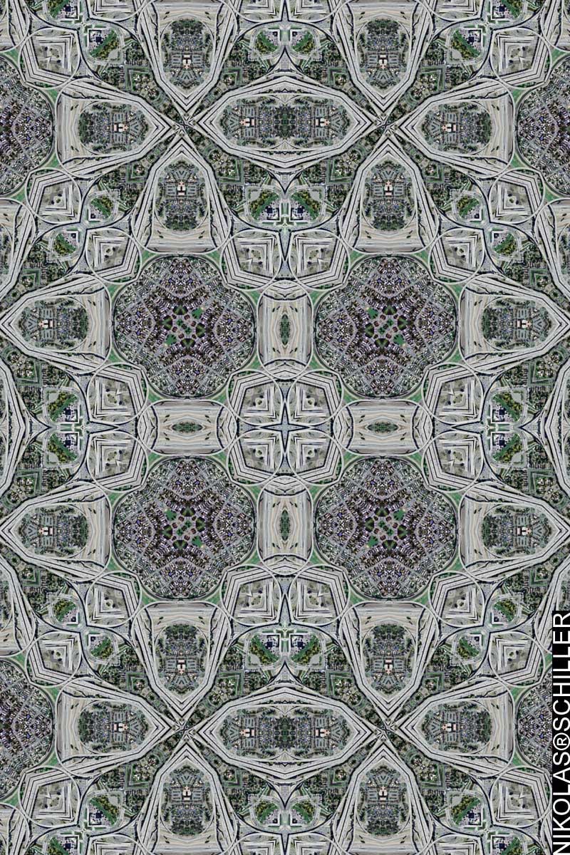
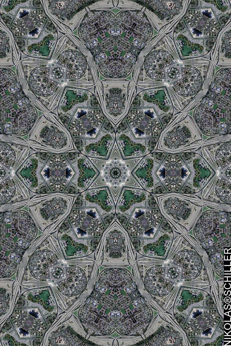
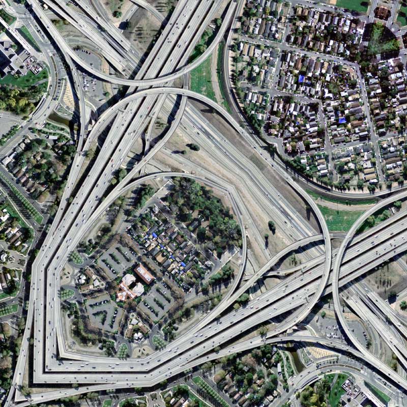
View the Google Map of downtown Charlotte, North Carolina.
View the rest of the details:
+ MORE


