Below is the text of an e-mail I sent out today:
One year ago today my ugly mug was on the front page of the Washington Post’s style section in David Montgomery’s article “Here Be Dragons.” To celebrate the one year anniversary of this 15 minutes of fame I did something I’ve been waiting a VERY long time to do– I removed the Robots Exclusion Protocols from my website. This means that in a few weeks you will be able to find the contents of my website with a simple search string from your favorite search engine.
Before 12:01am today, you could only search the contents of my website on my website. By preventing my website from being crawled by spiders (or robots as they are technically called) I also prevented anyone [strangers] from freely accessing the hundreds of maps that I’ve made over the last 4 years. Thus the paradox of making maps without being able to be found is now over, and in that respect I am liberating myself from the self-censorship experiment that I’ve been conducting these last few years.
Frankly, dear reader, its a very nice feeling. I am unaware of any website that has opened itself up to the robots with over a 1,000 different pages to index at once. I sincerely wonder what search words will bring people to my website from this day forward. Currently postmodern art is my number one search string (I am currently listed at #5)– and that was only possible because of the article that was published one year ago today. So with that said, today marks the beginning of a new phase in my life, and maybe yours– if you search for the right words.
 .
.
 .
.


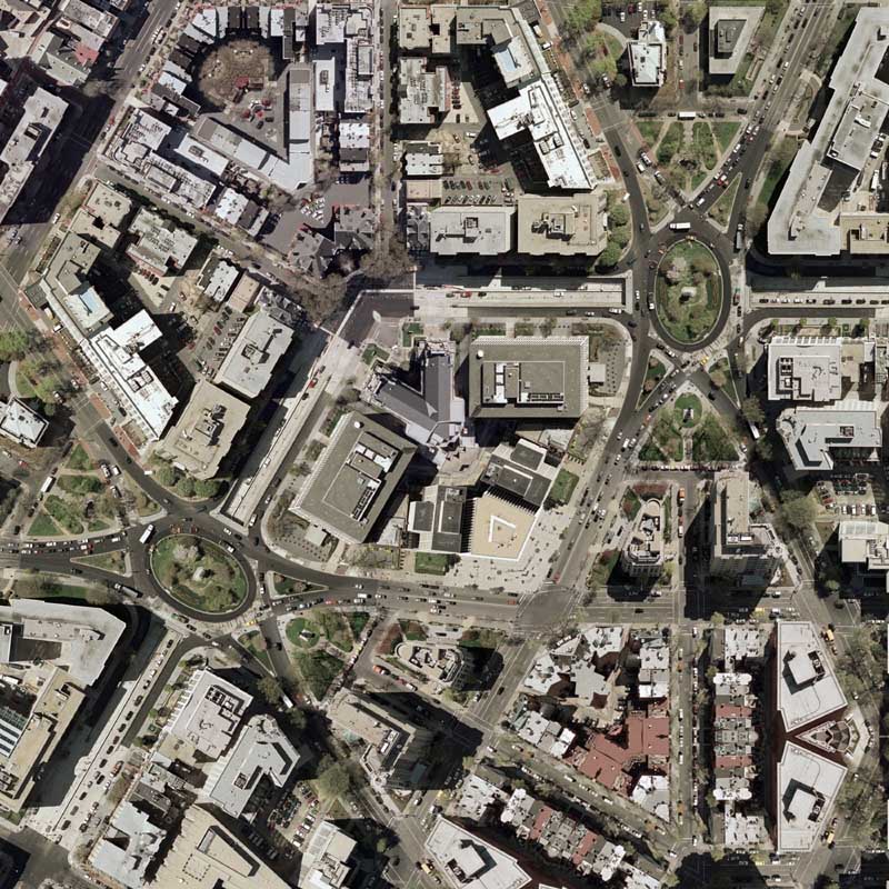


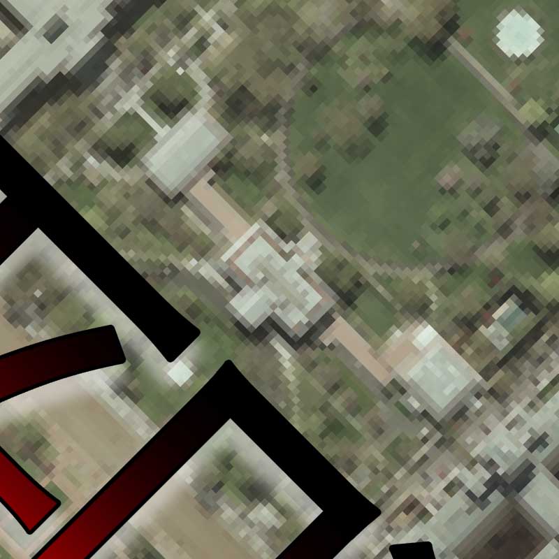
Digital Globe: Where did DC’s roads go?
|| 3/5/2008 || 12:27 pm || Comments Off on Digital Globe: Where did DC’s roads go? || ||
Screen grab featuring DC with very few roads
I was looking at Digital Globe’s website the other day and I decided to zoom into Washington, DC. The result was a map that only shows the major highways around the area. What is missing, however, are all the roads in DC, even the ones that connect to the “major highways” outside of the District. While the roads are not really needed to find locations of imagery, I’ve come to the conclusion that this is a good example of how an on-line mapping environments can leave out a lot more content than what should be included. Since this map environment was designed to seek Digital Globe’s imagery, not highways, it would make more sense that the base layer shows archive satellite imagery and not ugly vector graphics that incompletely show the major transportation routes in DC.
Notice:
– Two different city centers: Washington + Washington, DC
– In the margin map, the star next to Columbia is not District of Columbia, but South Carolina
– In the margin map, all cities are capitals as well
– Gallaudet University is the only university shown