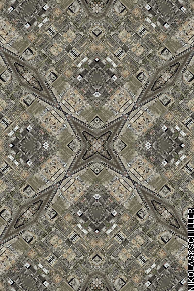
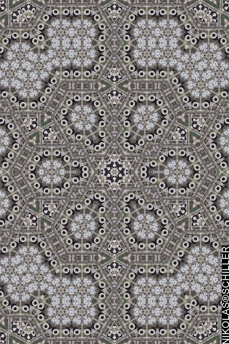
: rendered at 18,000 X 12,000 :
I chose this site because it’s where Artomatic is at!
Swampoodle is an old name used to describe a small section of the H Street neighborhood in Northeast Washington, DC. The area was first settled in the 1850s by immigrants fleeing the Irish potato famine. A geographic approximation of its borders would be K Street to the north, G Street to the south, 1st Street NW to the west, and 2nd Street NE to the east. Through the center of it, just east of North Capitol Street, ran the principal branch of Tiber Creek, creating the low swampy ground from which the area took its name.
A few years ago developers created the North of Massachusetts Avenue Business Improvement District, or NOMA and have tried to rebrand the neighborhood to something different.
When making the map I concluded that at the time of the aerial photography’s acquisition, it was still called Swampoodle and not NOMA. The same goes for Google Maps, which shows an even older glimpse (from spring 2002) of the changing neighborhood.
Personally, I think the name Swampoodle gives the area character in name. In contemporary identity, the area is mostly a bunch of warehouses and parking lots that are about to be developed, so I look forward to seeing a Swampoodle map in 10 years. It will look drastically different and I just hope its not called some focus group-approved abbreviation of a geographic region.
View the Google Map of the Swampoodle neighborhood in Ward 6 of Washington, DC.
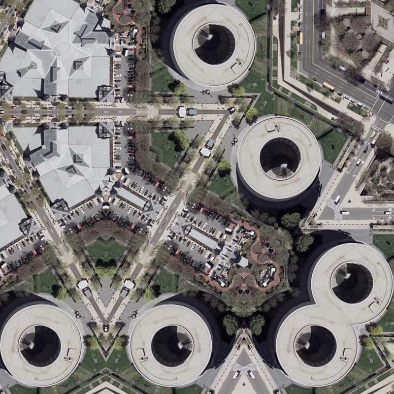
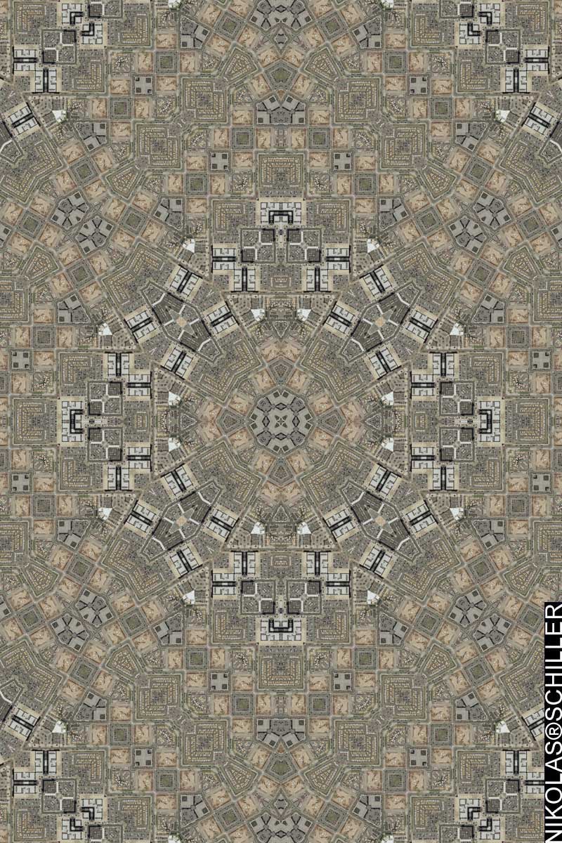
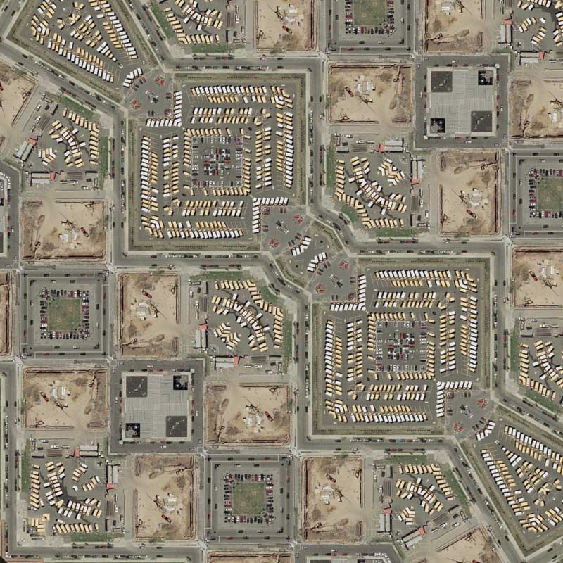
: detail :
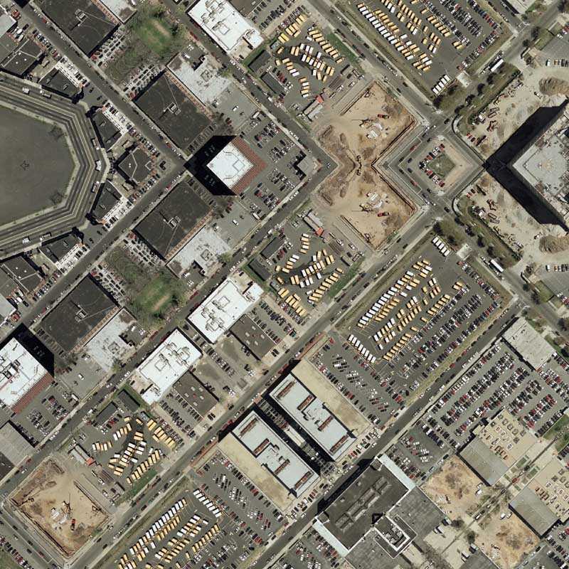
View the rest of the details:
+ MORE


