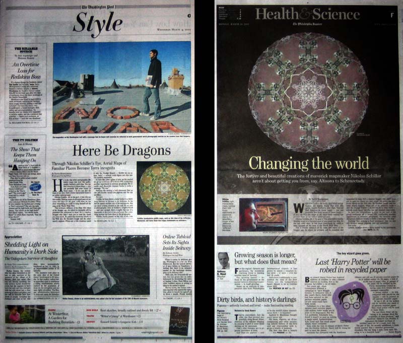
Below are the “slides” used in my presentation for the New York Map Society. Culled from the last four years of entries on this website, the selected maps show the range of my cartographic endeavors. What is missing, however, is my explanation of why I chose each slide.
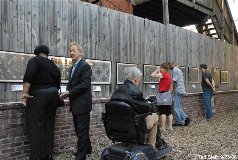
The presentation was was supposed to go for about 45 minutes and have about 15 minutes of Q&A, instead it went for about 75 minutes and had about 15 minutes of Q&A. In all, I felt it was a very successful presentation and I deeply grateful for the New York Map Society for inviting me and the wonderful staff at the New York Public Library for their assistance.


Sensor Spatial Analysis

Park Circle Quilt – Quicktime Virtual Reality

North, South, East, Westminster – Outdoor Installation
View the entire presentation:
Early Interactive Maps

E Street Risk Analysis – My final project for the GWU Geography Department

U Street Safety – Version 1

U Street Safety – Version 2

The Lenz Project(ion)
The Lenz Projection is based on 4 simple items:
– Aerial or satellite image
– Torus (a donut)
– Transparent glass sphere
– Light source
The Lenz Projection was setup as follows:
– A light source is created to illuminate the scene
– The aerial or satellite image was placed in the direct center of the scene (the square peg)
– The Torus placed at the center of the scene and reduced so that the image fits exactly in the center (the square peg in a round hole)
– The transparent glass sphere was place at the center of the scene enclosing the image and half the diameter of the torus (Lenz)
By adjusting the the Z dimension (depth) of the transparent glass sphere over the square image in the circle, the Lenz causes the imagery to refract and fill the space of the circle.


The Lenz Project – Version 2

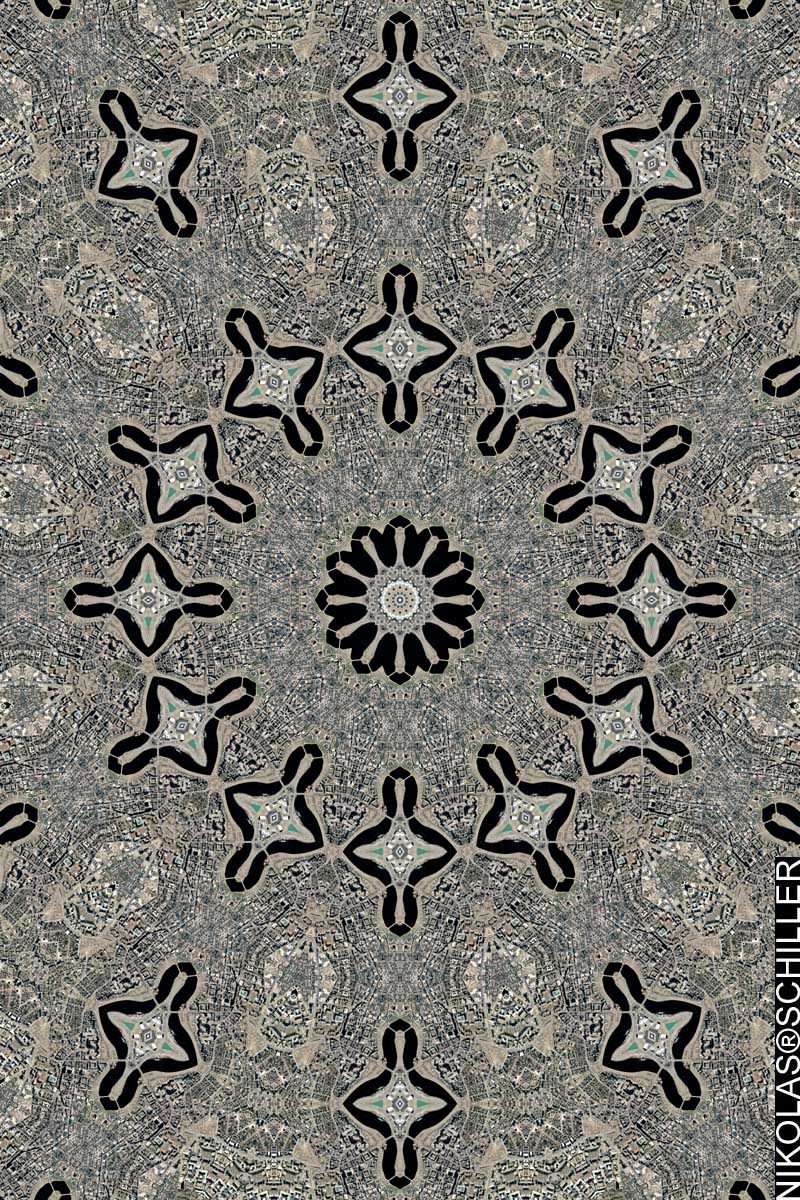
The Star Series

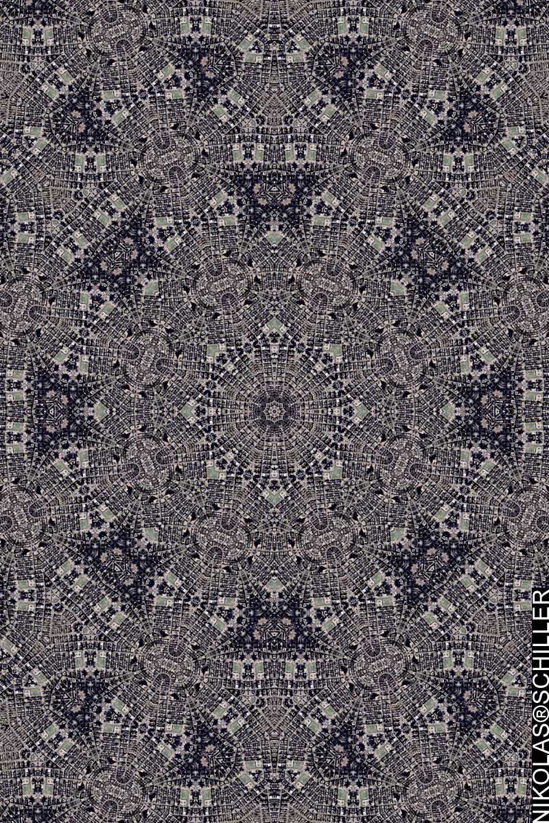
The Memory Series


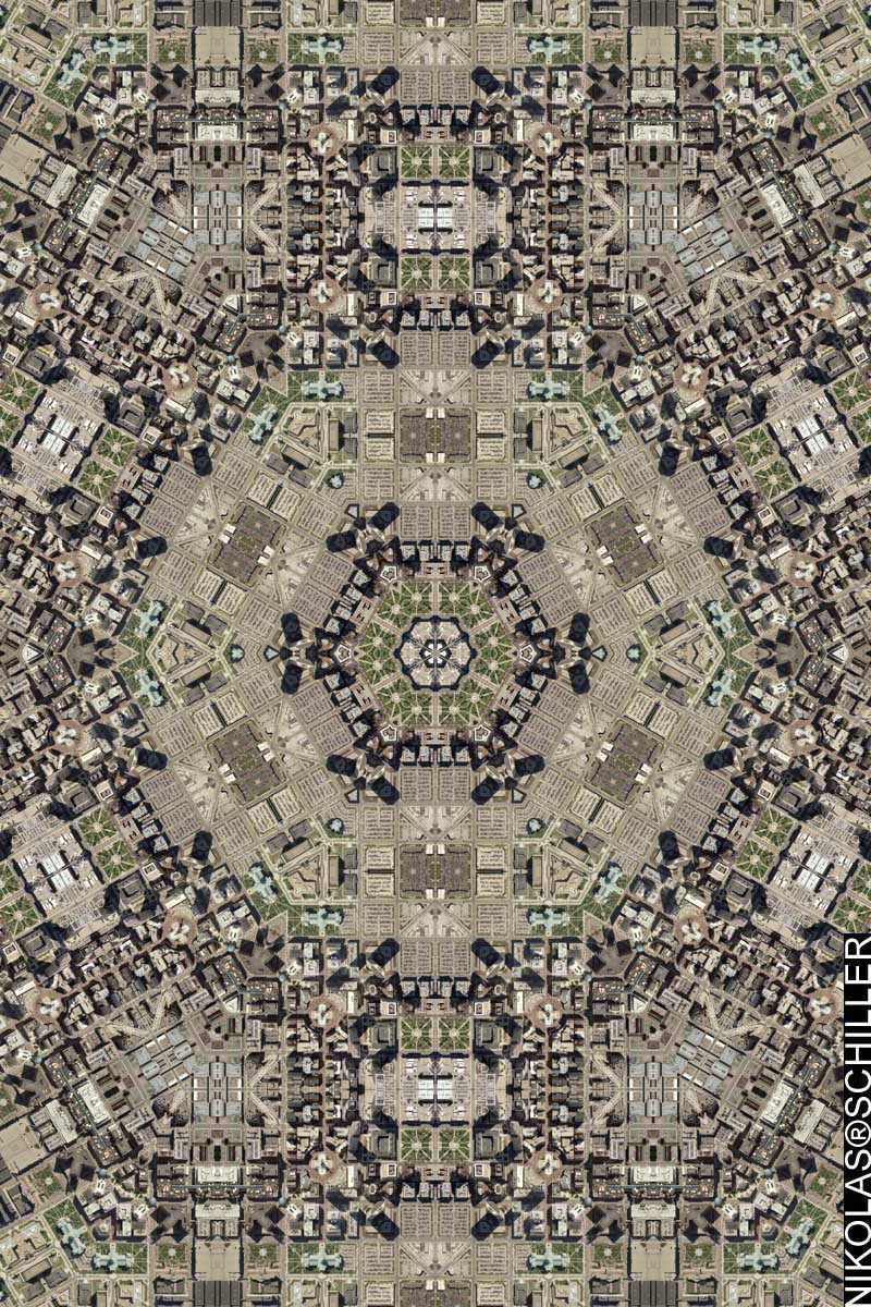


The First Derivative Tessellation Map: Jefferson Mandala
Jefferson Mandala was printed over a million times

The Geospatial Alphabet

Ball of Destruction

Salt Lake City Quilt With Clouds

New OrLincoln

Taxation Without Representation Google Map
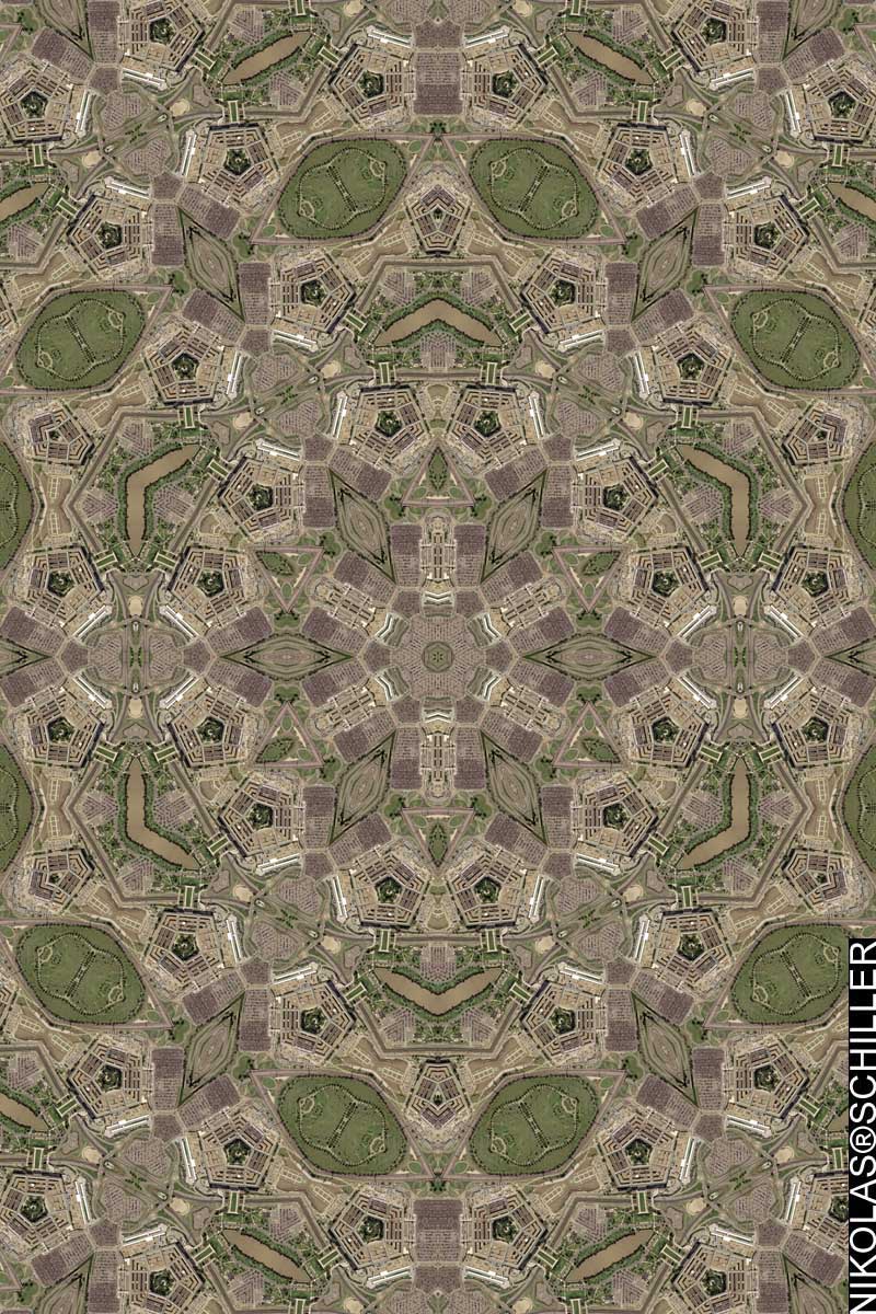
Pentagon Quilt
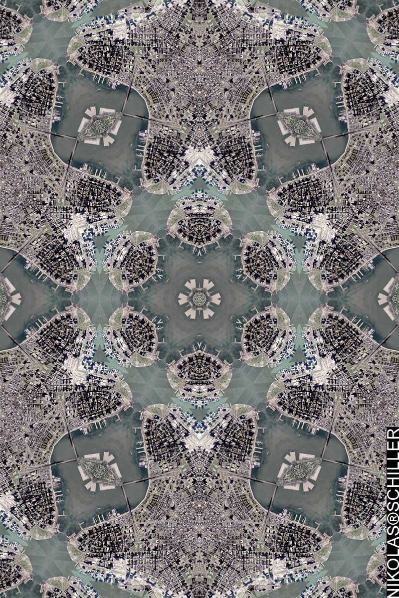
Lower Manhattan Quilt
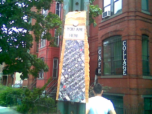
You Are Here #1

Israel / Palestine 1993


1 : 1
 :Converts To:
2 : 1
 :Rectangle reduced to a Square:
:Converts To:

3 : 1
 :Rectangle reduced to a Square:
:Converts To:

4 : 1
 :Rectangle reduced to a Square:
:Converts To:

5 : 1
 :Rectangle reduced to a Square:
:Converts To:

6 : 1
 :Rectangle reduced to a Square:
:Converts To:

7 : 1
 :Rectangle reduced to a Square:
:Converts To:

8 : 1
 :Rectangle reduced to a Square:
:Converts To:


Generic GIS Map
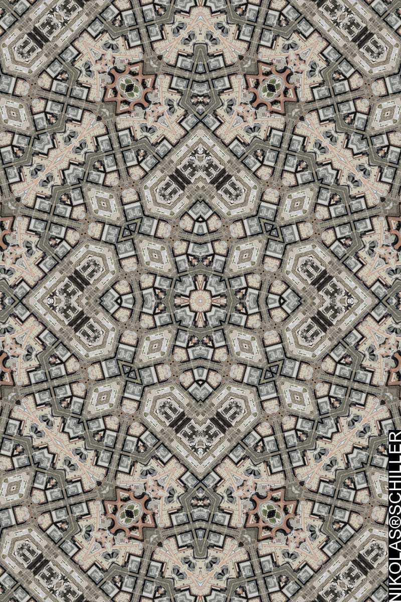
Cathedral Quilt with Arabic Signature
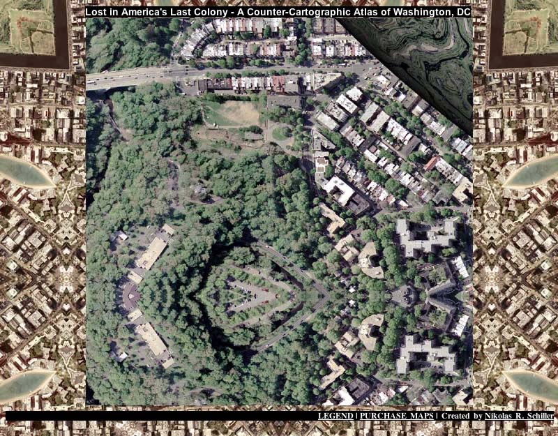
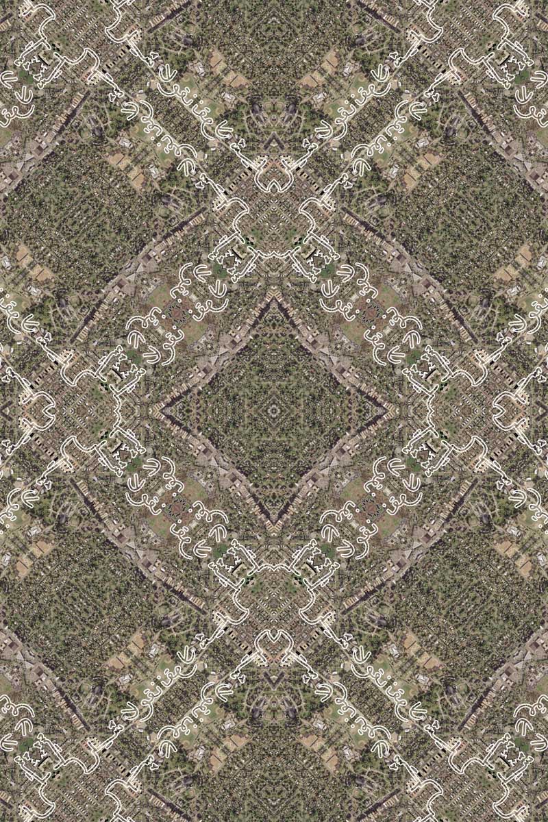
Lost in America’s Last Colony

American Stereography #3
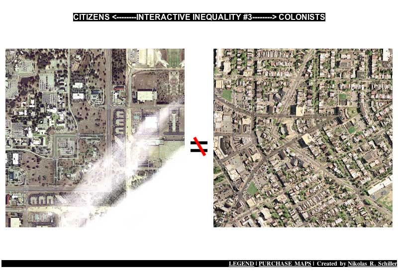
Interactive Inequality #3
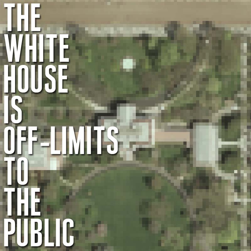
The White House Is Off Limits to the Public
LOLmaps
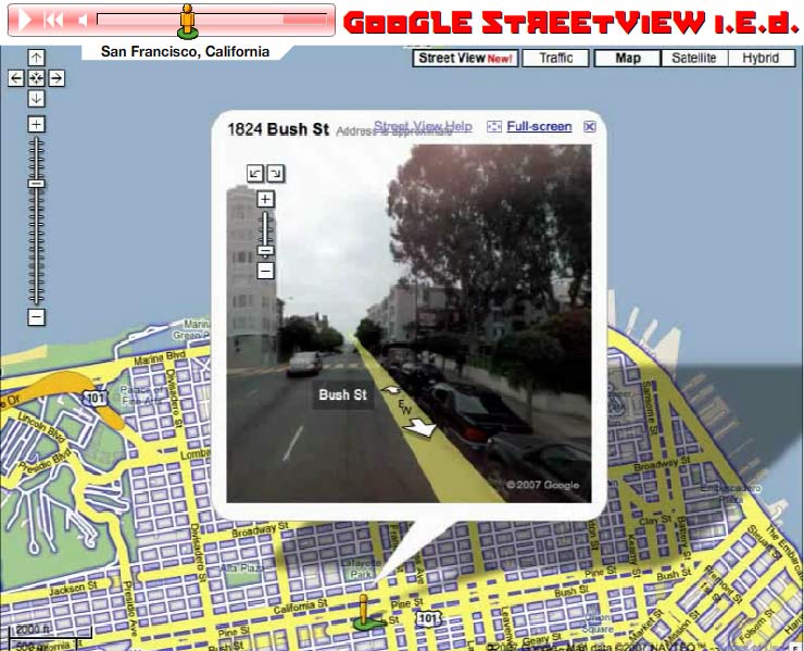
Streetview I.E.D.

Socio Ditata Labore

A New Map of the Terraqueous Globe : according to the the Ancient discoveries and most general Divisions of Geospatial Art
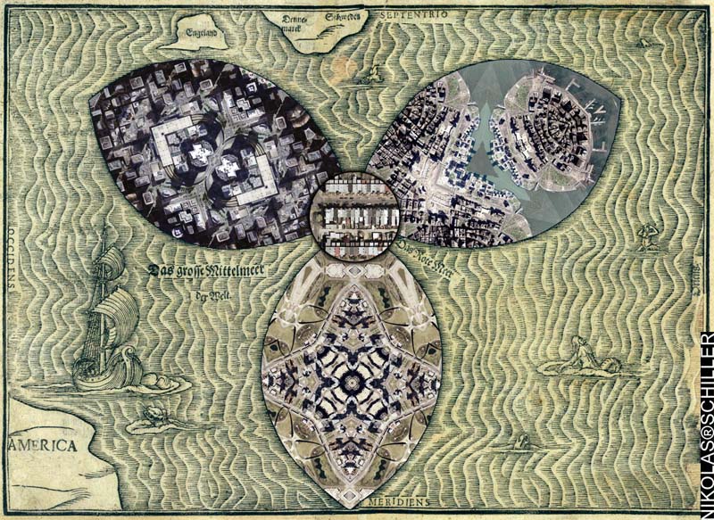
America As A Cloverleaf

NOVA ET ACCVRATISSIMA TOTIVS TERRARVM ORBIS TABVLA [2007 Remix]
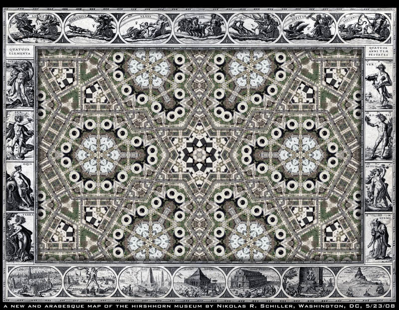
A New & Arabesque Map of the Hirshhorn Museum


1880 Street Railway Map of the City of Washington

Within Sight of the White House [Overlay of Hooker’s Division]
Maps: Finding Our Place in the World

5, 10, 60, & 101 Quilt
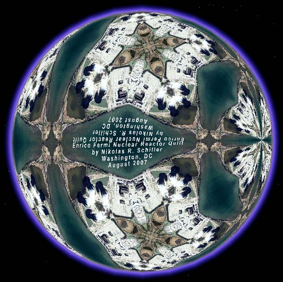
Terra Fermi

A new change in Washington, DC’s imagery on Google’s servers

2008 Urban America Calendar


